Since moving to the Greater Boston area this past spring, we’ve been trying to do some walks to explore the area with our kids.
Within urban Boston, one well-known walk is the Emerald Necklace which consists of 10 miles of greenways from the Boston Common to the Franklin Park Zoo. This route was architected by Olmsted in the 1800’s, during the period when Central Park in NY was built, and includes many really nice stops – e.g. Boston Common, Public Garden, Comm Ave, Fenway Area, Jamaica Pond, Arnold Arboretum. We’ve walked (and biked) this one in sections years ago, and we probably should try it again.
That said, we’ve been looking into walks in suburban Boston. We came across a network of trails through conservation lands in suburban Lexington called ACROSS Lexington, which consists of 12 routes that cover a total 40 miles. Since they’re newer to us and a bit closer, we’ve taken our kids on a couple of these routes recently.

ACROSS Lexington Trail
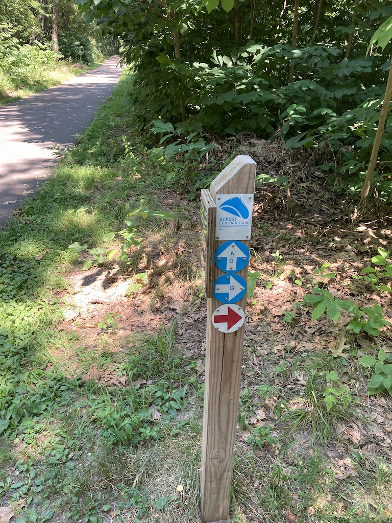
ACROSS Lexington has an extensive trail map that shows existing routes, with some newer ones in the works. They’re reasonably well-marked, and they even have a nice iPhone app to help navigate your way around (alas, no Android version). Without the app, I’d print the map and the descriptions. Loop A is also on AllTrails App.
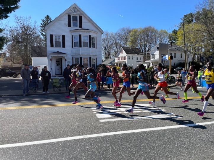
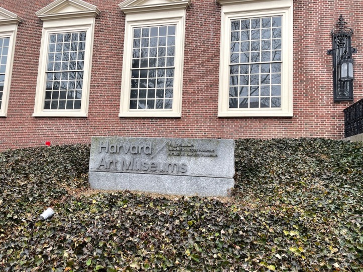
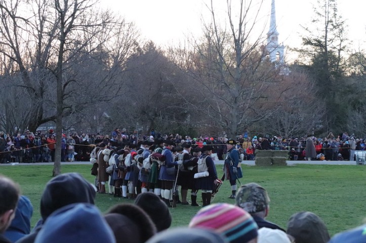
Note: Lexington itself is a common tourist stop in suburban Boston for history buffs, since the first battle of the US Revolutionary War in 1775 happened there (think of “Paul Revere’s Ride”). Nearby Minuteman National Historic Park is well worth visiting, as are some of the old sites and the Battle Green. However, those sites are beyond the scope of this post. Below, we’ll write up our experience with the 5.2 mile “Loop A”
The Start of Loop A
Technically, Loop A starts at the Lexington Visitor’s center, so if this is where you want to begin, there is a big parking lot behind the shops in the center.
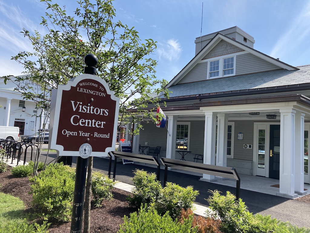
Since one of my boys is a huge Dunkin’ Donuts fan, we decided to start there instead so that we could end with a treat.

Loop A is 5.2 miles, so if you are doing this on a warm day, bring some water.
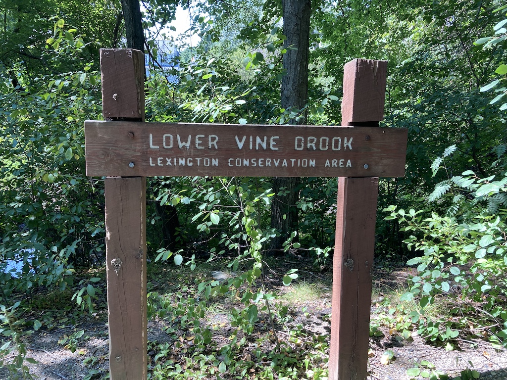
Lower Vine Brook
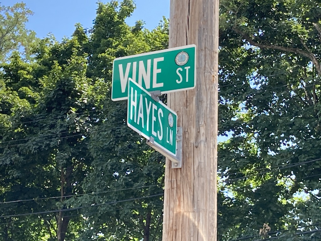
From Dunkin’ Donuts, we made our way to Vine St., enjoyed a little bit of the peaceful neighborhood, and then found the Vine Brook trailhead.
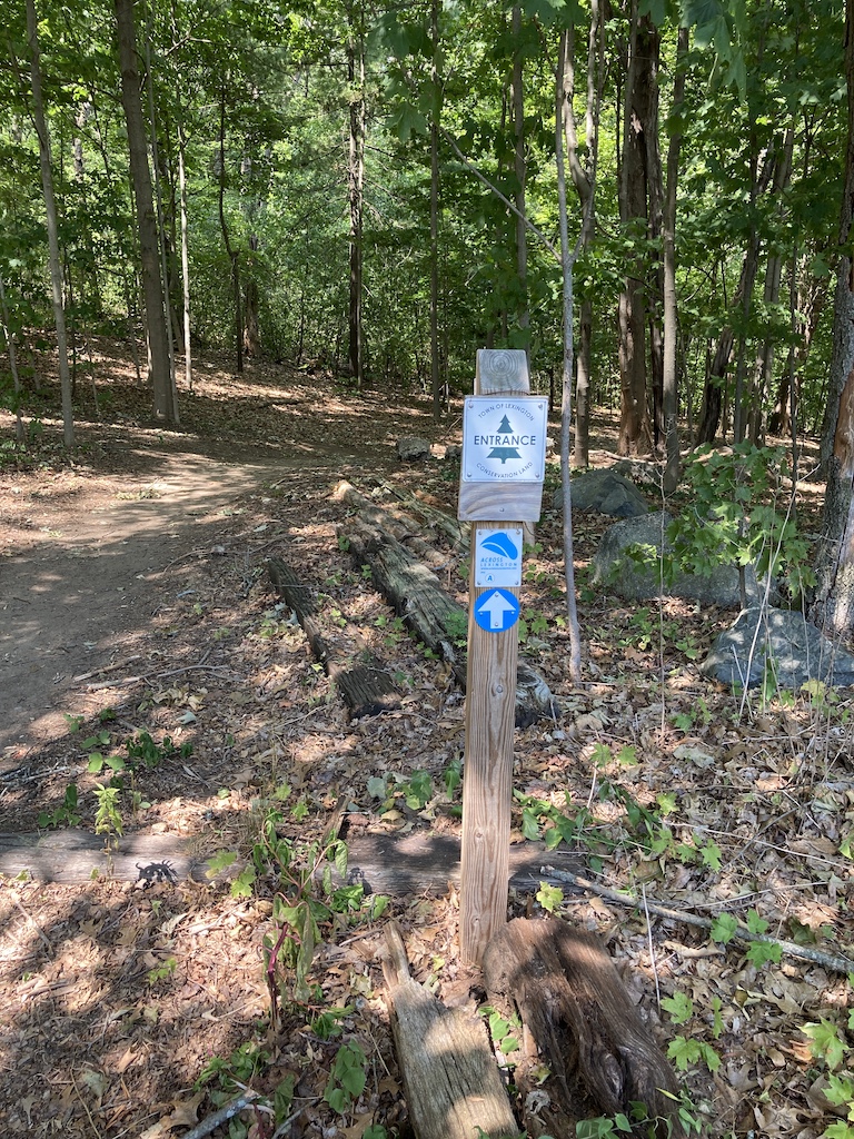
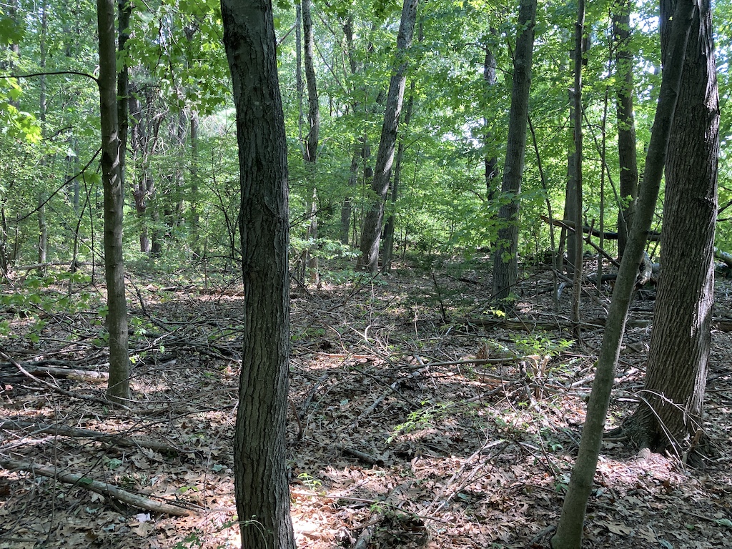
On entry to the trail, one of my kids got really excited and wanted to come back on his bike and do some mountain biking. The ACROSS Lexington app told us that the Lower Vine Brook conservation land covers 108 acres, has 2.1 miles of trails, and whenever you see a pond, it may have once been a large sand or gravel pit.
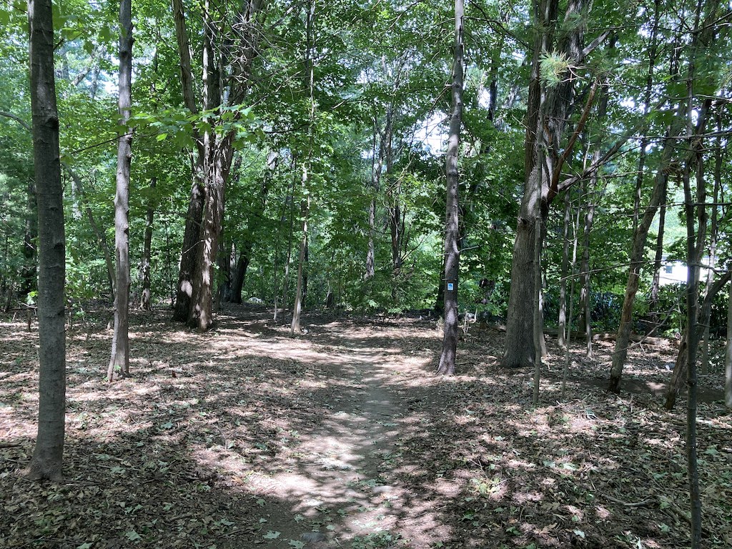
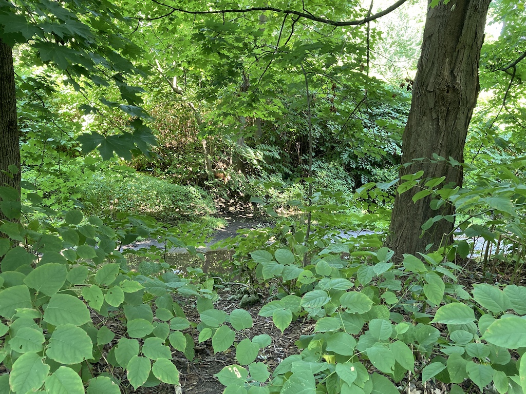
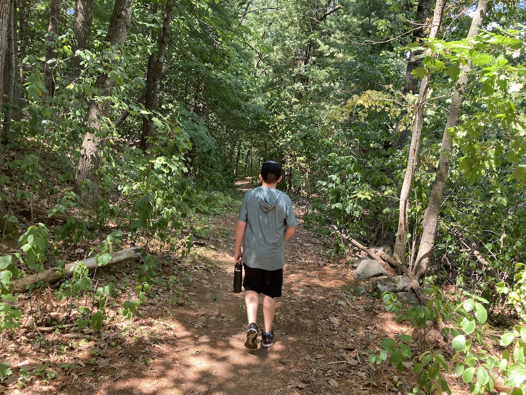
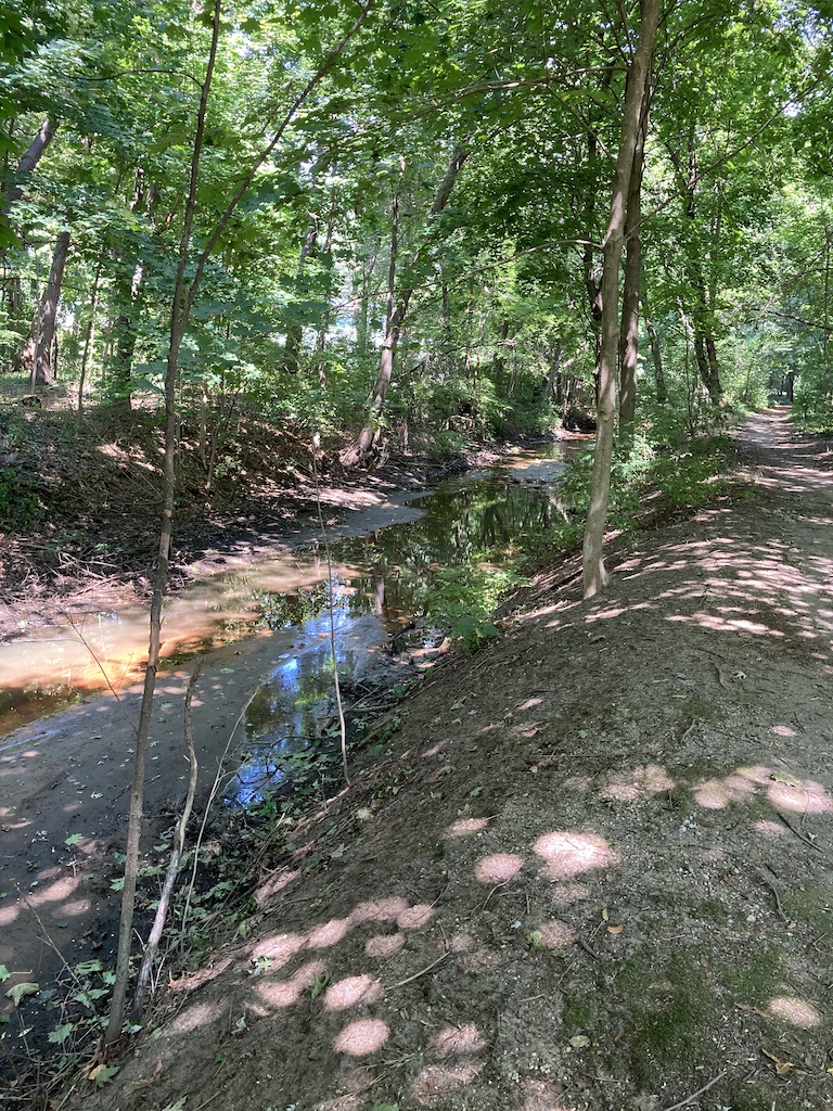
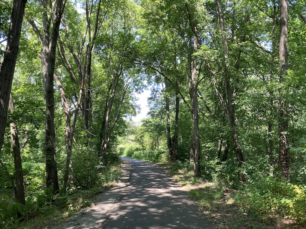
We continued along and enjoyed the woods, eventually finding the brook. While the beginning of the path was dirt, and most of the offshoots were dirt, a big part of it was paved.
If you would like to make your walk a couple of miles longer, the cutoff for Loop G is in the middle of the woods.
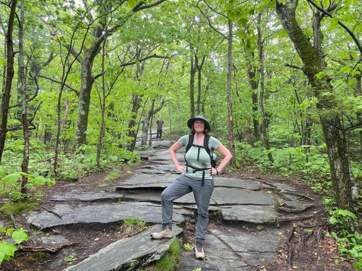
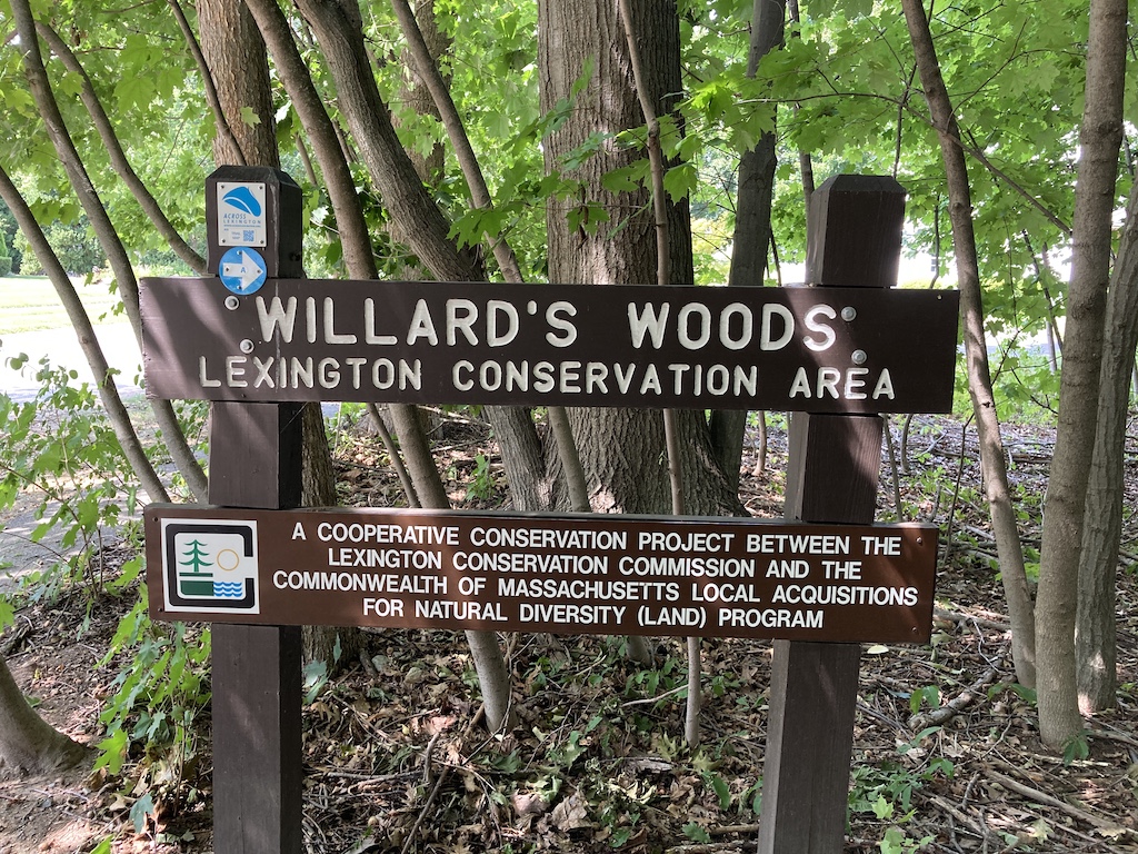
Willard’s Woods
Eventually we left Lower Vine Brook and entered another neighborhood. For the most part, it is really easy to stay on the trail, the woods signs tend to be quite large and in convenient locations, but somehow we missed the little blue arrows on the turn off of Adams St. onto Myrna St. If you find yourself on a fairly busy street without sidewalks, check your map!

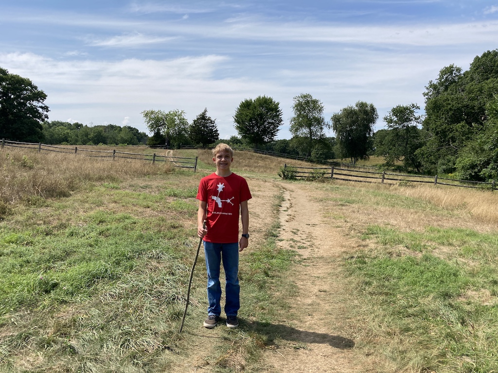
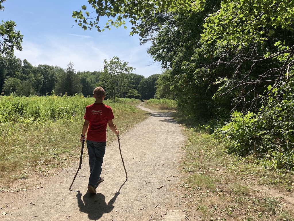
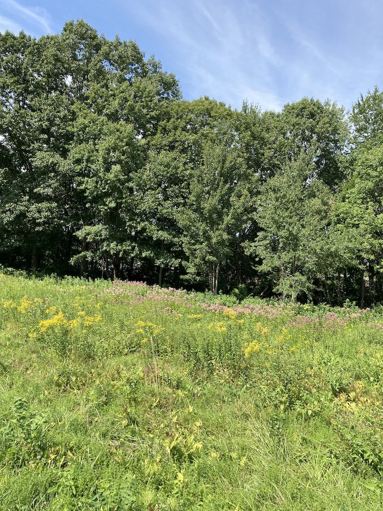
Shortly after this, we came upon Willard’s Woods, which had some woods like Lower Vine Brook, but it also had fields, meadows, and wetlands. At 107 acres, again, there is plenty to explore.


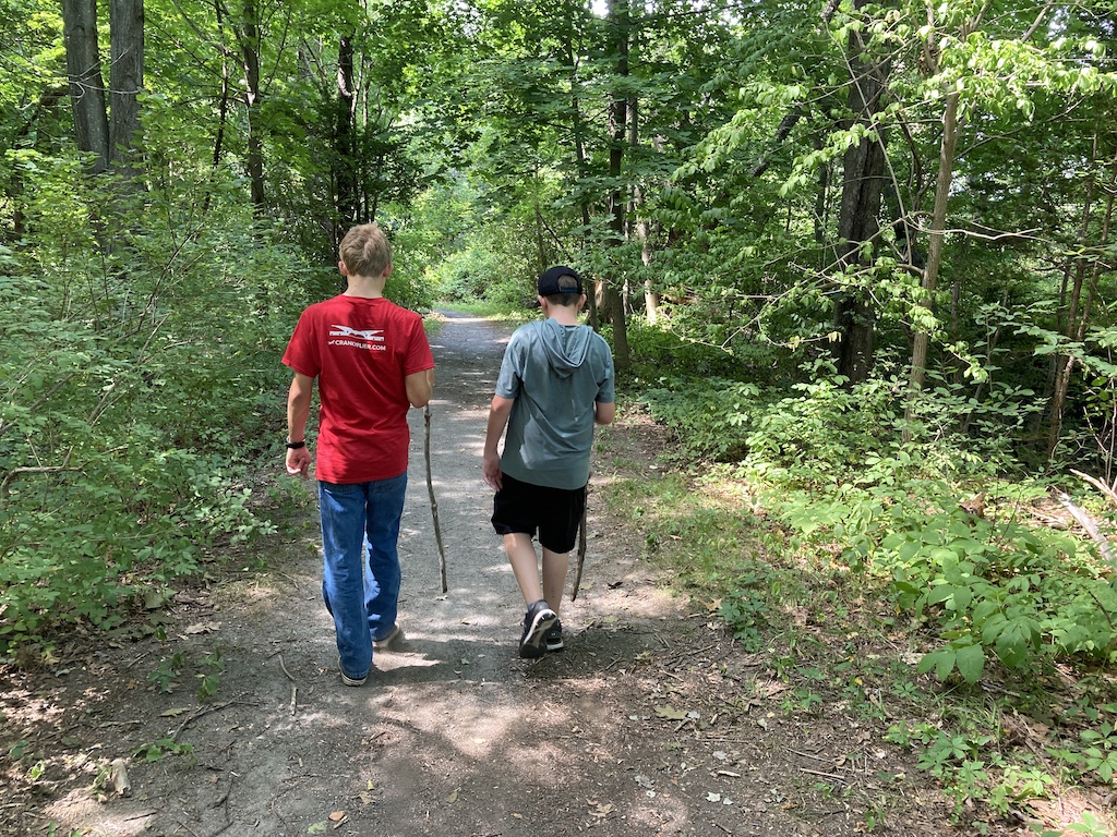
We also came across some teenagers who were out for a bike ride, and again, the boys lamented the lack of their bikes.
Chiesa Farms
After walking by one of the town’s middle schools, through another peaceful neighborhood, and by an elementary school, we found ourselves at Chiesa Farms, which had a sign advertising a 3 hour window that free range goats were allowed to graze.


Originally, this 18 of this 23 acre area area was owned by Giovanni Chiesa and was used as a horse farm.

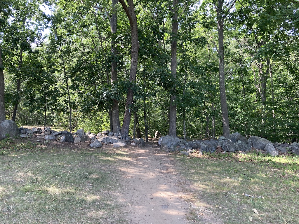

I particularly liked the stone walls.
Parker Meadow
There was more walking on the street, and then we came to the boardwalks covering the wetlands at Parker Meadow.
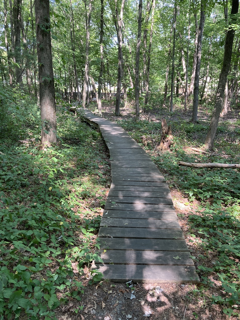
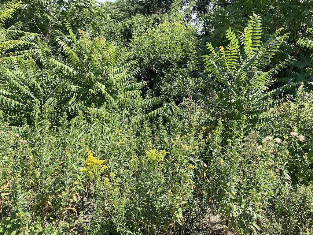
So pretty! At only 17 acres, it is a quick walk, so enjoy it while you can.
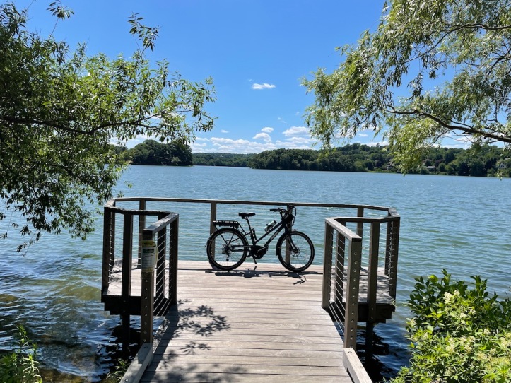
The Minuteman Commuter Bikeway
This brought us to the Minuteman Commuter Bikeway, which goes from the Alewife T Station in Cambridge, through Arlington and Lexington, and ends in Bedford. If you explore the trail beyond the scope of this blog post, you will find a lot of cool Revolutionary War history.
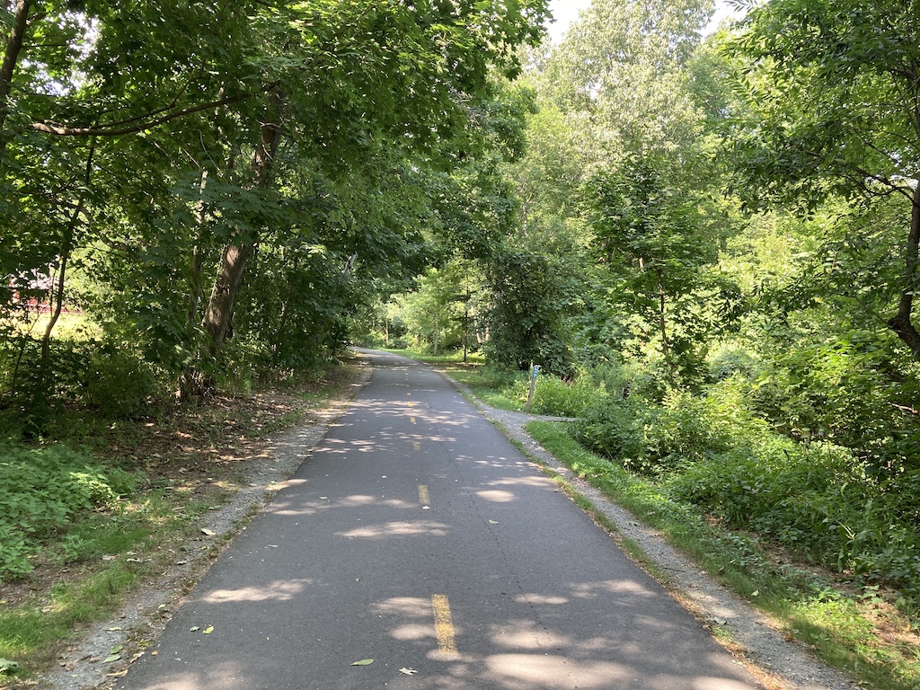
In any case, if there aren’t too many bikes on the trail, it is quite peaceful and makes for an enjoyable walk. Avoid rush hour if you can.
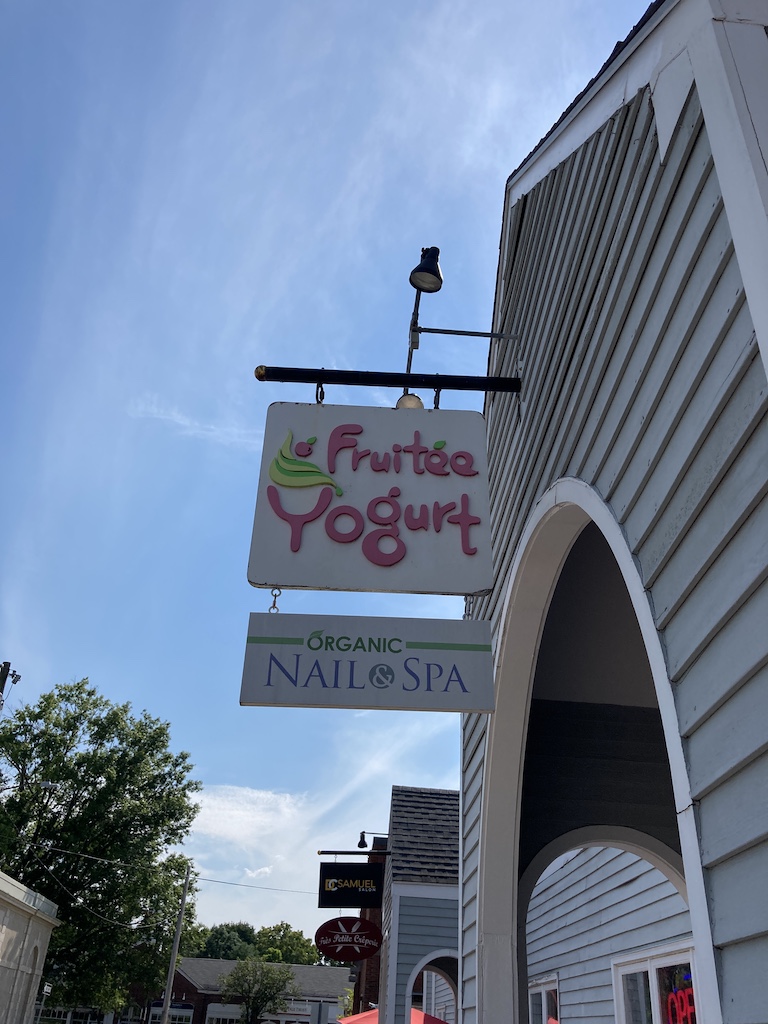
We had planned to continue back to Dunkin’ Donuts/Baskin Robins and pick up a post walk treat, but when the boys saw Fruitée Yogurt from the trail, we decided to stop there instead. As a pleasant Covid-19 surprise, only one family was allowed in the shop at a time, a woman cleaned off the machines between visitors, and then greeted us with a squirt of hand sanitizer on our way in.

After mostly finishing our treat, we got back on the trail and continued until we reached our starting point. The trail currently requires face masks, so eating and walking really don’t go together.
Keep reading our travel blog to find more ideas to get into nature!
Here are some travel ideas in the Greater Boston area: