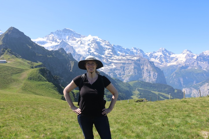
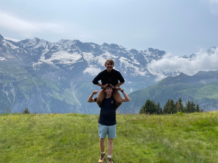
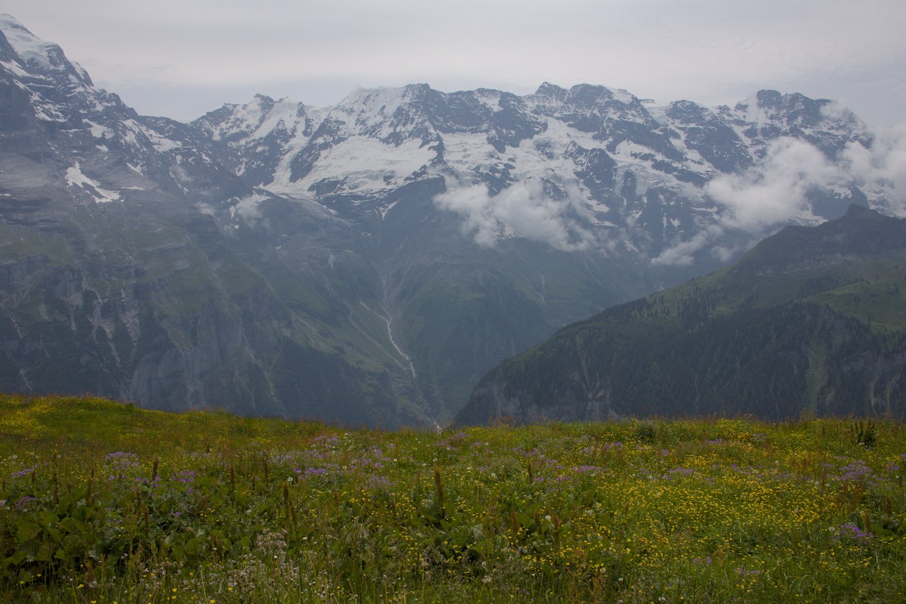
The North Face trail is one of our favorite hiking trails in the Jungfrau Region of Switzerland. It combines amazing views of the surrounding mountains with flower-filled meadows and plenty of grazing cows!
While the official North Face Trail starts at the top of the Allmendhubel Funicular and ends in Mürren, we usually take a detour to Gimmelwald and take the gondola back to Mürren. The detour through Gimmelwald adds some steep downhill at the end, but is quite enjoyable.

One thing to keep in mind with this trail is that there are a few spots where the signage in’t great. The first time we did the trail, we wondered if we were going the right way, but eventually we found signs that confirmed our choices. Make sure you look at a map before you go and have a general idea of the route as it will really help you decide whether to head right or left at any given unmarked intersection!
The Logistics
- Difficulty: Easy to Moderate
- Starting Point: Top of the Allmendhubel Funicular
- Ending Point: Either Mürren or Gimmelwald
- Distance: 4.2 miles to Mürren or a bit longer and steeper to go to Gimmelwald
- Time: 2-3 hours
- Elevation comparisons: Allmendhubel – 6339 ft. , Peak – 6430 ft., Mürren – 5413 ft., Gimmelwald 4485 ft.
- When to Go: The trail is usually open from mid-June until October, but closes for snow or other poor conditions.
- Gear Needed: Good walking/hiking shoes that can handle mud and steep paths. While we have seen small restaurants along the way, they are not always open, so either check the hours of these restaurants or bring enough water and food for the entire journey.
- Cost from Mürren: One-way full-price adult ticket from Mürren to Allmendhubel is 14 CHF. Use a Half-Fare Card (50% discount for these tickets), or other discounts if possible. The Jungfraubahn pass doesn’t work as well on the Mürren side of the valley.
- Trail Details: Click here to get current trail details and updated information from the Jungfrau Region.
Our Hiking Experience
While some of hikes we’ve done in the Jungfrau region are mostly downhill, the North Face Trail, while still being fairly easy, is a reasonable hike that is a bit more balanced. Hikers looking for a challenge can always do this hike in reverse, and really serious hikers can continue the hike all the way to either Birg or the Schilthorn (note that while we have taken the cable car to these places, we have never hiked down from Schiltorn)!
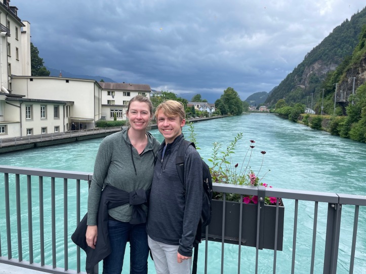
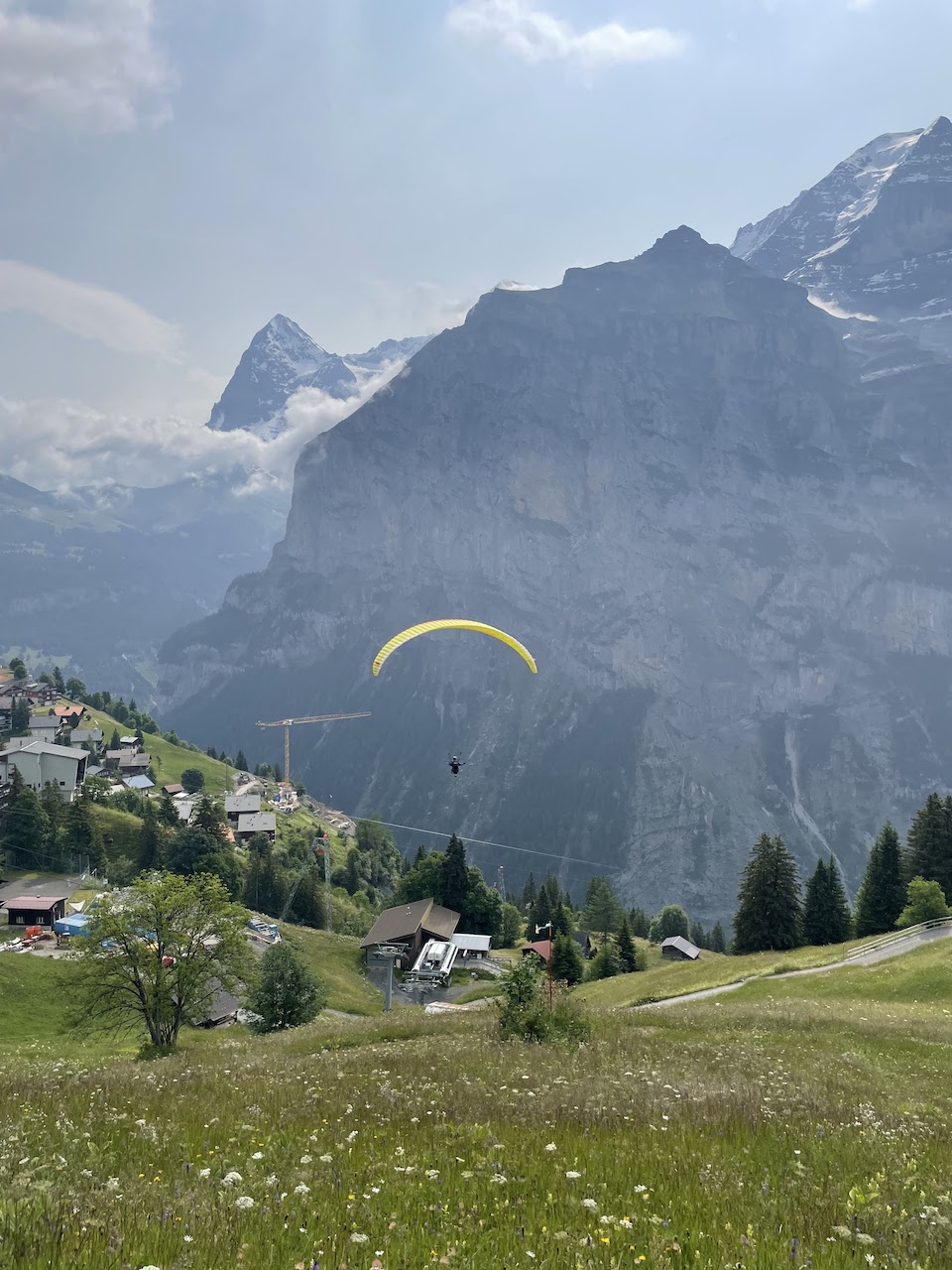
Upon arrival by train to Mürren, we took a 10-15 minute walk across town where John was delighted by the opportunity to jump off a cliff and paraglide over the Lauterbrunnen Valley.

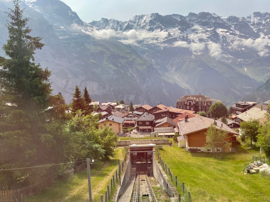
An hour later, he was back in Mürren and we made our way to the Allmendhubel Funicular. Note that this particular funicular is not covered by the Jungfrau Travel Pass, but was relatively inexpensive with our Half-Fare Card.
At the top of the funicular, you will be greeted by the sight of a playground and the Flower Trail.
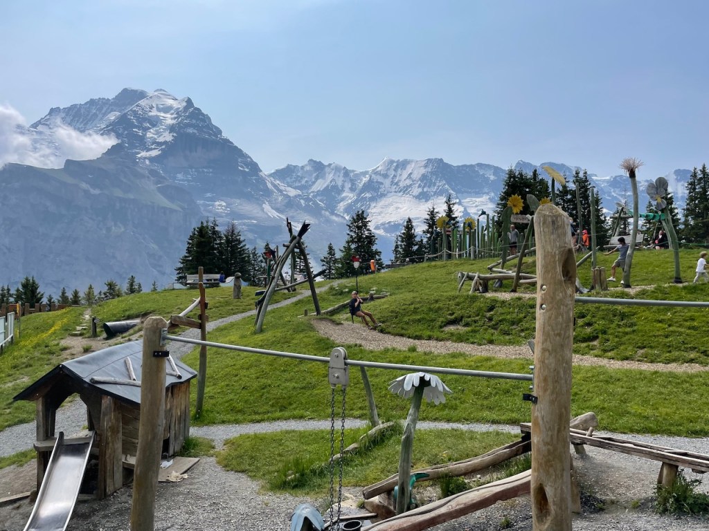
While there is a big sign showing the route for the North Face Trail, we always find it tricky to find a sign pointing towards the start. Maybe we are missing something. In any case, if you head across the playground to a big, wide path, get on that path and head to the right.
A short while later, you will come to a sign similar to the one below that will confirm that you are on the right path. Look for the little green squares that say “North Face Trail”.

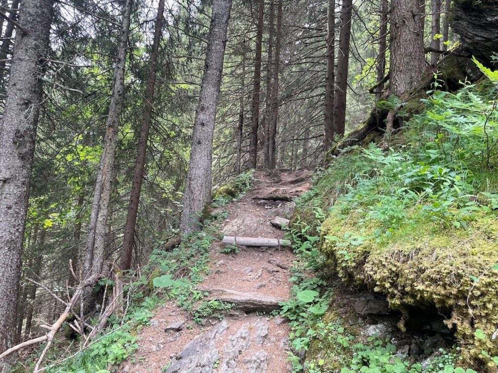
The next place that could use a signpost is when you cross the valley. There will be a few different paths, but you will want to walk to the bottom of the valley, then straight back up the other side, heading slightly to the left. At the time of our travel, there was a big construction site that you can see in the photo below, and the path continued to the left, just behind this site.
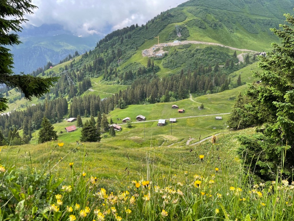
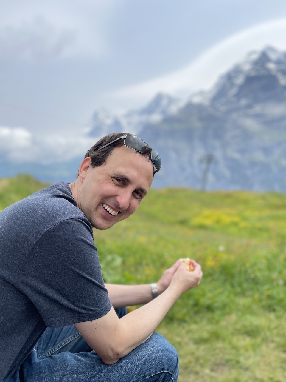
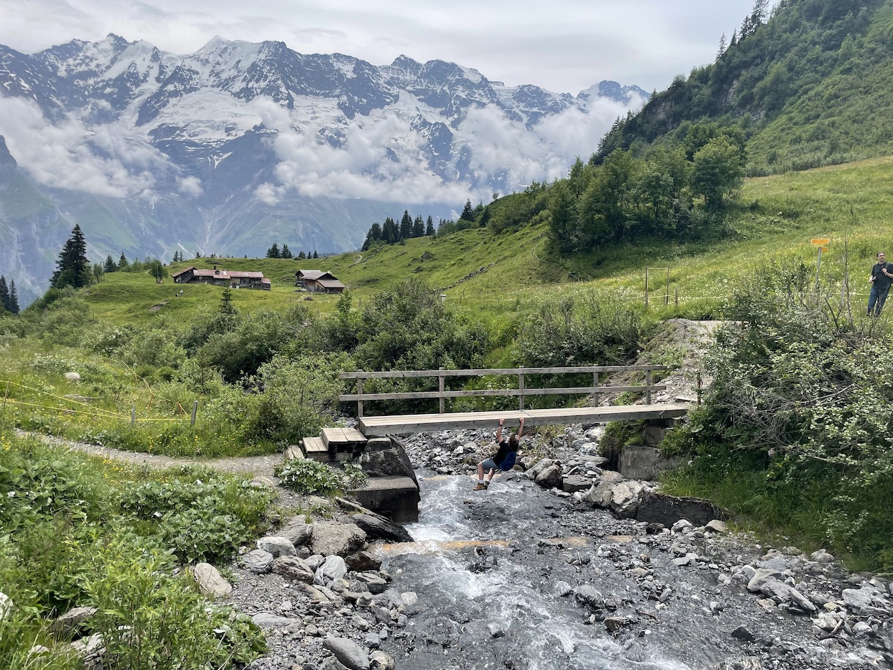
Once you ascend this small hill, there will be plenty of benches that will make great spots for a picnic. Some of them have some really great views, so consider holding out until you find one of these.

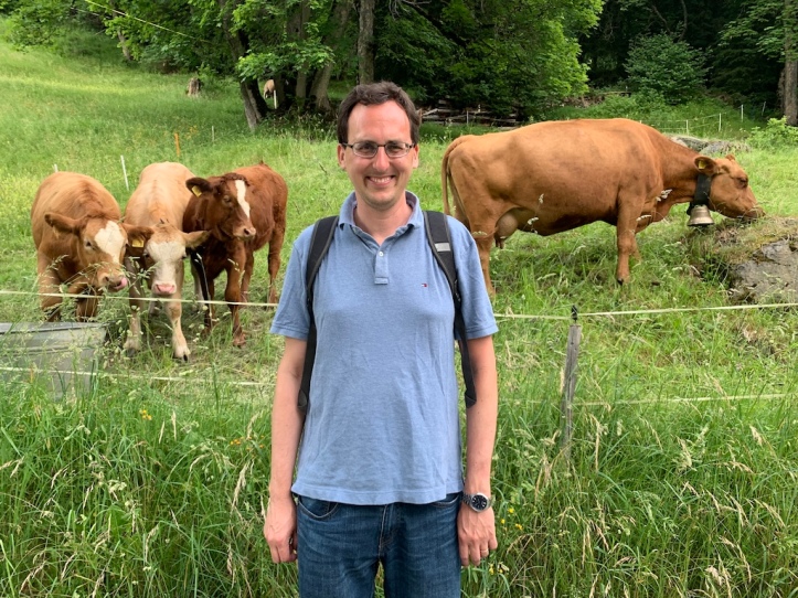
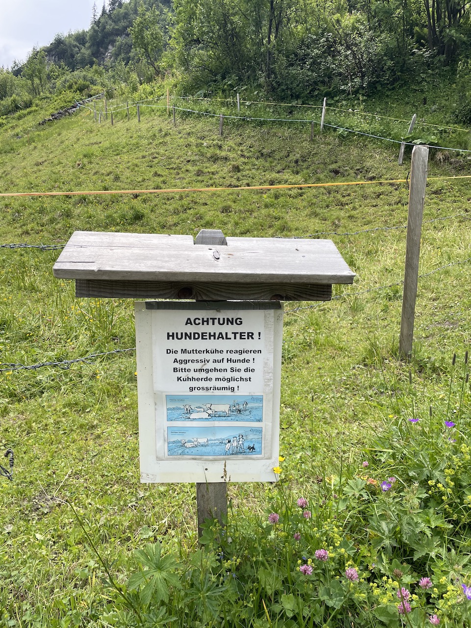
Throughout the year, cows are moved from field to field, but you can expect to find a few either on the trail or close to the trail.
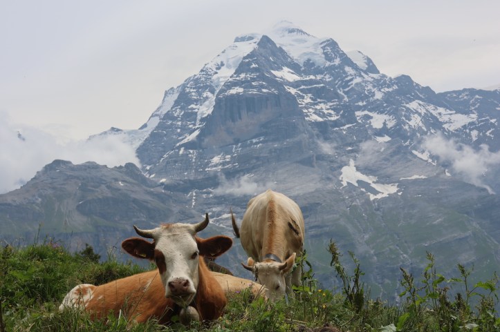
Note that there are a mix of cows, bulls, and calves, so use caution if there isn’t a fence between you and them. It is unwise to get in-between a mama and her baby, or a bull looking for a mate (we saw some of that during our time in this region!). Also keep in mind that cow pies and rain can make for some interesting mud. Choose footwear that can handle this!
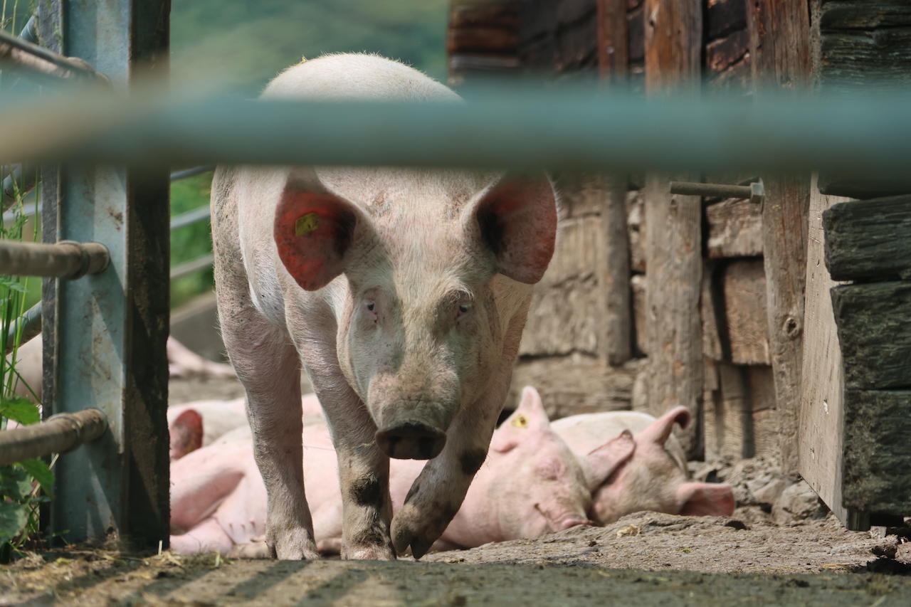
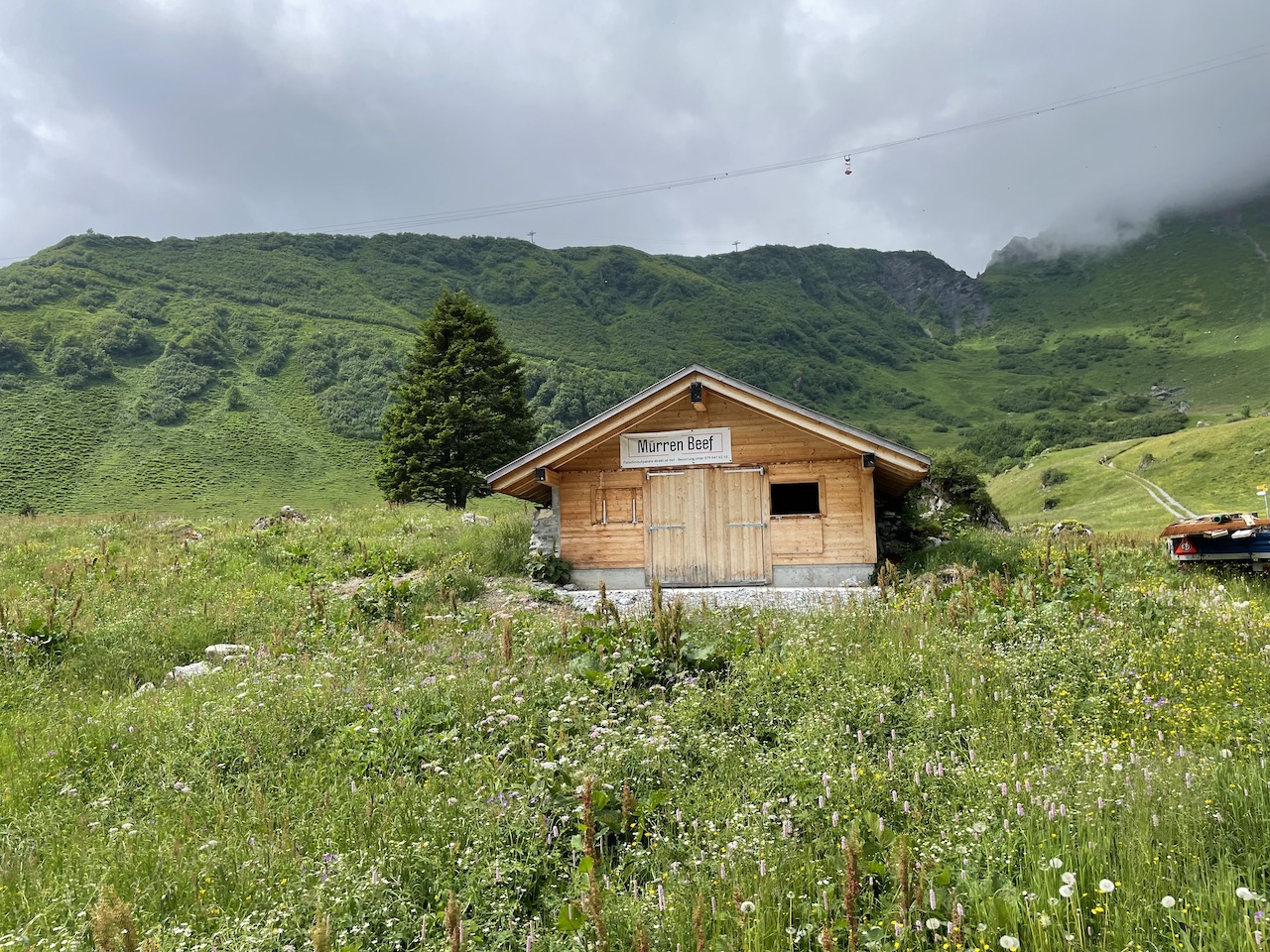
Eventually, you will come to a farm with some cute pigs that also offers a small restaurant. While it is often open, we have also seen this restaurant closed, so if you are counting on finding food along the trail, it is wise to ask the Mürren TI office about the hours. We usually just pick up sandwich supplies from the grocery store and have a picnic.

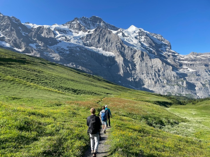
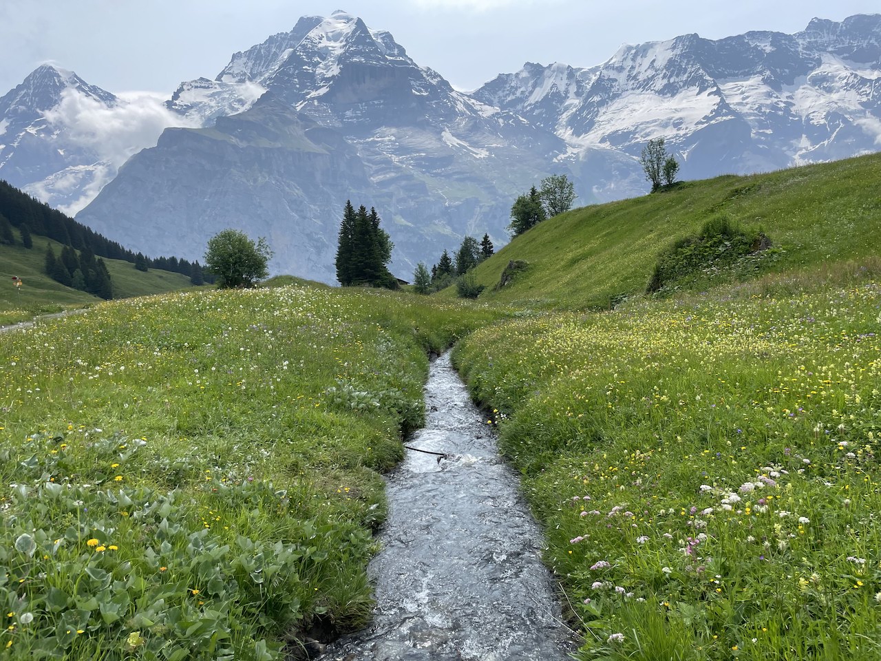
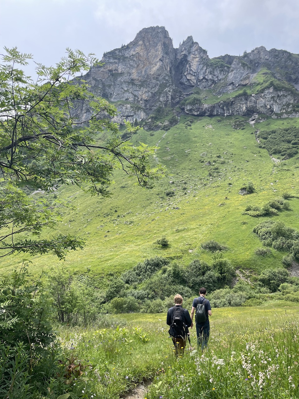
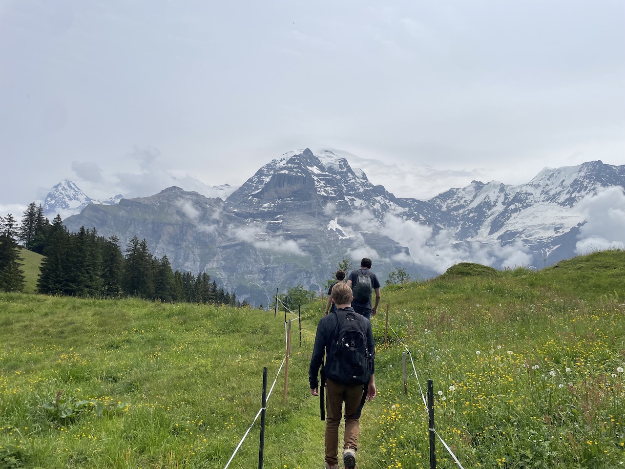
The trail will twist and turn through the mountains and you will enjoy many different landscapes.


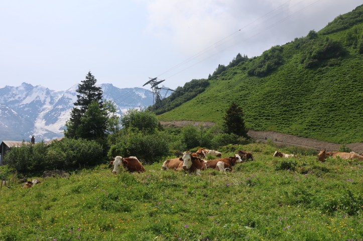
The first time we hiked this path, there were many cows in the pastureland, but very few fences. Now, many places with cows are guarded by electric fences. Do note that these are not for decoration, and are often (but not always) turned on. For some reason, our kids always seem to want to check to see if they have power flowing. They discovered that if there are goats in the field, the power is likely to be really cranked up!
Eventually, you will come to to a set of junction points that will either take you back to Mürren, or down the mountain to Gimmelwald. There are several paths to Gimmelwald, and while all of them will be steep, most of them will only take you in the downhill direction. You can see one particular sign below that has two different paths to Gimmelwald.
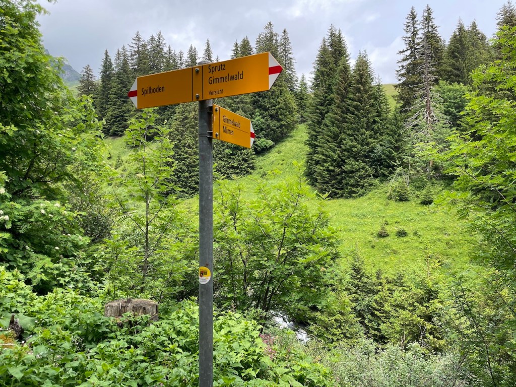
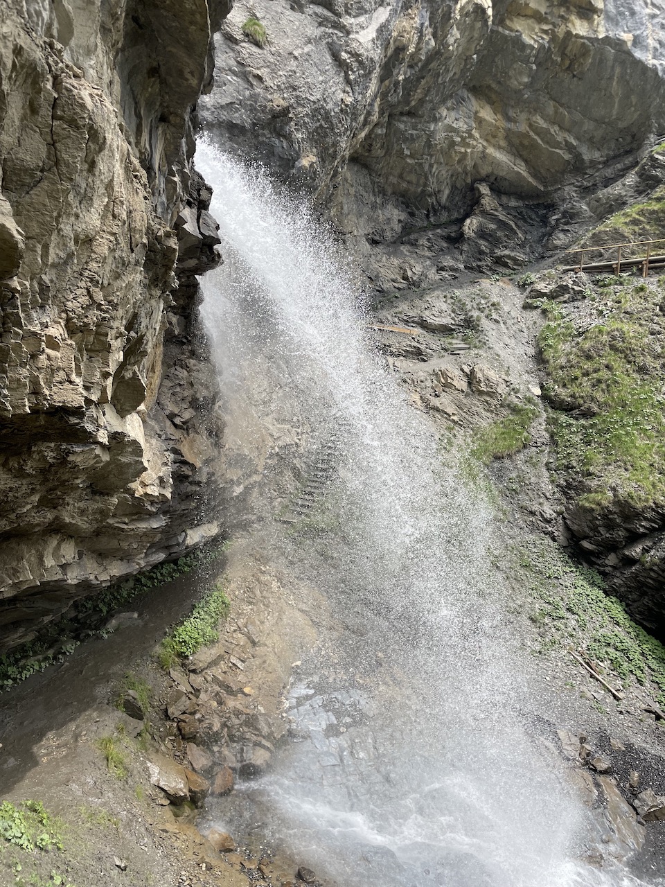
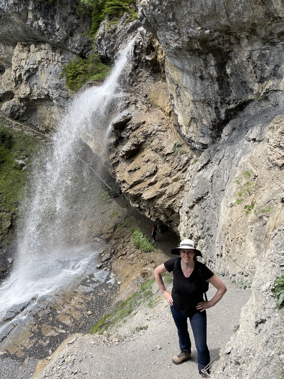
Note that sprutz means “splash” and vorsichst means “caution”. If you follow this particular route, you will be taken down a steep path that will go behind a waterfall – sprutz – and then will continue back up the fairly steep hill – vorsichst – and back to the main path that will lead you down to Gimmelwald.
If you take the easier path, you will simply continue downhill through the forest without seeing the waterfall, but there will also be no need for significant ascent.
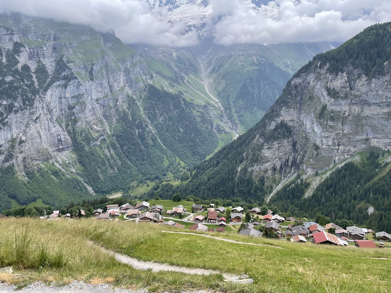
Eventually, the forest will end and you will have a beautiful view of Gimmelwald. If your calves are still in good shape, there is a steep path that will take you directly through the meadow to town. If you are done with steep hiking, consider taking the longer, but less steep, road to town.
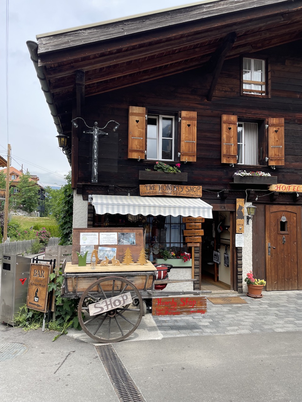
One interesting stop on the walk through town, back to to the gondola station, is the “honesty shop.” There is no shop keeper in sight, and instead customers are asked to place their payment into a basket on their way out.
While it is possible to walk 50 minutes uphill to Mürren, we usually just take the gondola. Note that this particular gondola is not covered by the Jungfrau Travel Pass, but the cost was fairly minimal with the Half-Fare Card.
If you still have energy upon your return to Mürren, consider walking on the wide path next to the train tracks. You can walk to either Winteregg or Grütschalp.
And if you still have energy, consider taking the cable car down to Lauterbrunnen. The Staubbach Falls are just a short walk outside of town. Lauterbrunnen is also a good town to stop in if you are looking for an ice cream or coffee break!
What a fun day!
More From Adventures of the 4JLs
Keep reading our travel blog for more adventures in Switzerland’s Jungfrau Region: