With a break in my (Jeremy’s) interview schedule for much of last week, I decided to do a last-minute road trip to a few national parks in my home state. My initial idea was to spend a few days hiking in Yosemite mid-week, with fewer crowds, but the rain expected in Northern California mid-last week made that look less attractive. The rain also nixed my idea of local bike rides. As I looked more at the weather, Southern California looked quite dry, so I decided to see where I could visit there.
In Southern California, I had never been to Joshua Tree National Park, so I decided to head that way. I left Tuesday mid-morning and due to constraints needed to be back by Friday mid-day. Jennifer teases me about my inclination to do bursts of long driving, and this fits that mold. The upshot is that I took a very whirlwind tour of three California national parks. There are things that I’d do differently doing it again, or if I’d had several more days, but that’s part of the point of a whirlwind trip – to experience the highlights and to understand where you’d like to go back, to take the family, and spend more time.
1) Joshua Tree National Park
The drive towards Joshua Tree from the Bay area was relatively traffic-free, since I left after Bay Area commute traffic and only skirted Los Angeles, going near San Bernardino. It was a fairly significant drive though – roughly 8 hours with a few breaks. By the time that I arrived, the sun had set – the autumn days are getting shorter, with sunset around 6:30. After getting dinner, I settled into my Yucca Valley hotel room, which was a few miles outside of the park, and I spent the evening catching up on email and such.
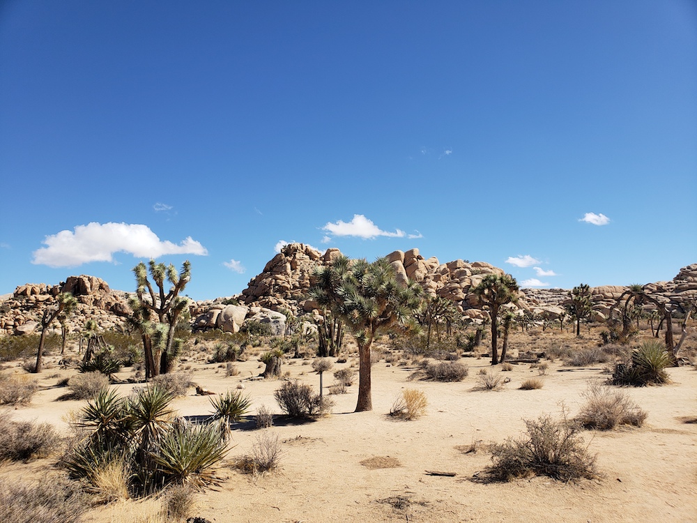
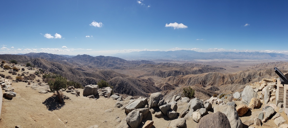
The next morning, I drove to the park entrance and purchased an annual parks pass. Since one park is $30, and an annual pass is $80, the pass paid for itself this trip. In some previous years, we’ve taken advantage of the free 4th grader National Park pass, but we’re not eligible this year. The ranger helpfully pointed out on the map the typical loop and hikes that people take. Not long after entering, I saw tons of the distinctive Joshua Trees:
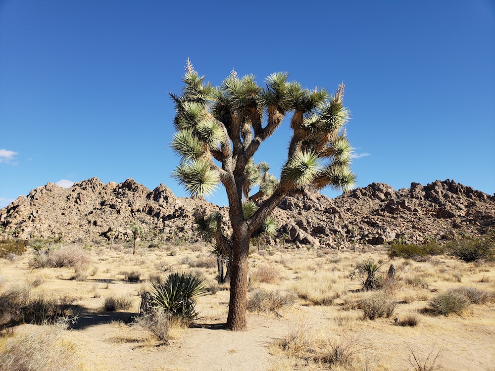
Most of the park was at 3,000-4,000 feet elevation – this seems to be where these trees like to grow, which made it somewhat cooler than one might expect for a park in the desert – much cooler than Death Valley, though it’s still important to carry water and take reasonable precautions.
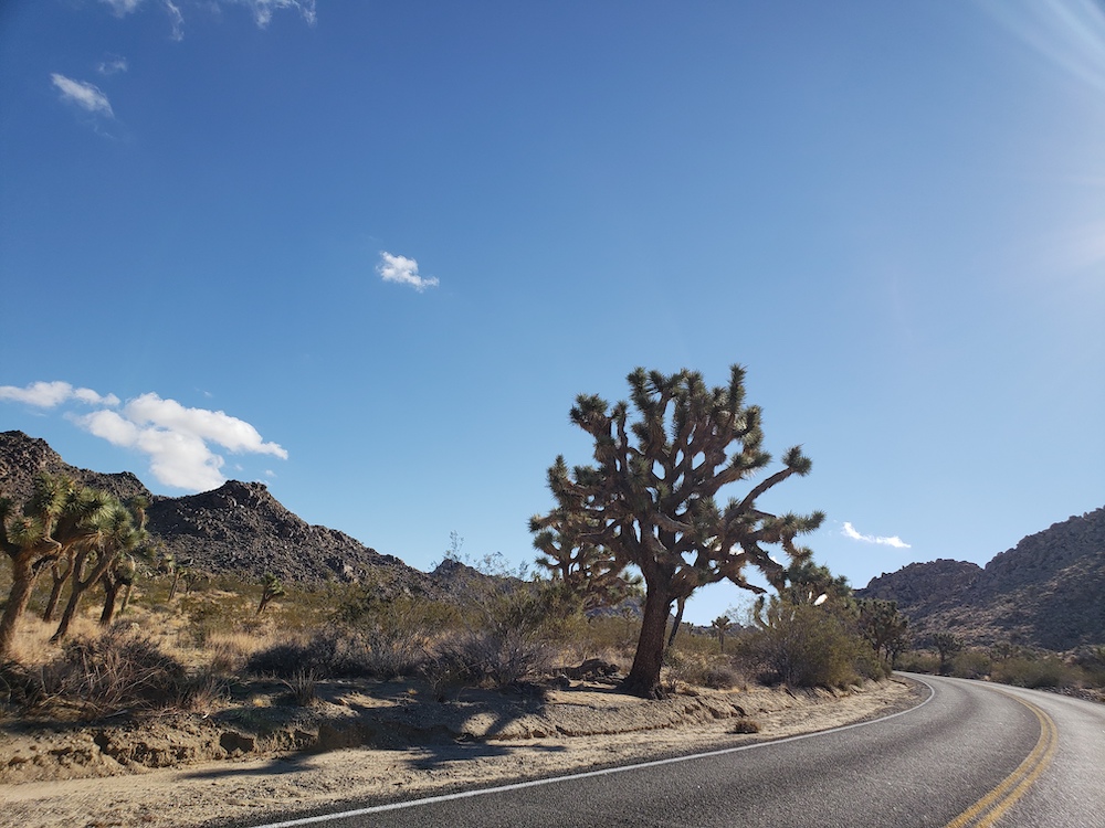
While the ranger indicated that it was possible to do the main Park Boulevard loop in an hour, I spent essentially the whole morning exploring the park. This included getting out at many stops to take photos and look at the funky trees, and doing a few of the hiking loops. I did the hike at Hidden Valley, which had fewer of the trees, and I also did the Barker Dam loop, which had somewhat more trees. The ranger had suggested both of those. I usually walk relatively quickly, and I imagine you could easily spend the better part of the day exploring that park. There were plenty of really interesting rock formations as well.
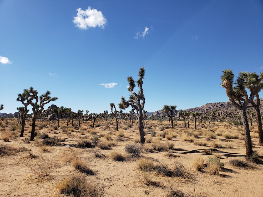
Since it was mid-week in October, the demographics were different, and much less crowded, than one would expect at national parks during the school summer breaks. One interesting group that I encountered was a big group of Europeans doing a “Route 66” tour, exploring the American West by motorcycle.
Besides the hikes, I also did the drive to the Keys View, which was a peak where you could see much of the nearby area. Since it was a clear day, I could see Palm Springs, the Salton Sea, and [sort of, according to the sign] the Mexican border, about 100 miles away.
I could definitely go back to Joshua Tree National Park, though one minor disappointment was that it had been cloudy the night there, so I couldn’t see the stars that are normally more brilliant in the desert. That said, this was rectified when I spent the night in Death Valley.
Mojave Preserve
I left the park at Twentynine Palms, and got a quick lunch and gas. Looking at the map, I decided to start heading towards Mojave National Preserve, which was not too far, and a place I’d also never been. The high desert scenery along the way was surprisingly pretty, and it’s really hard to capture well by photos – it just feels vast and untamed.

If I’d had more time, I would have probably spent more of the day in Joshua Tree, and maybe seen some more of the Mojave Preserve. The area also isn’t too far from Las Vegas, to use as a base as well, from where one could go to places like the Hoover Dam or (with a more ambitious touring plan) the Grand Canyon.
2) Death Valley National Park
That said, when looking at hotels on my phone, I noticed that there was still availability at the main in-park hotels in Death Valley National Park. I’ve never been seen availability to book an in-park hotel there, but then again, in my previous trips there, I’ve never tried on a Wednesday night in October. So, I jumped on that opportunity, deciding to drive to Death Valley, and trying to make it before sunset.
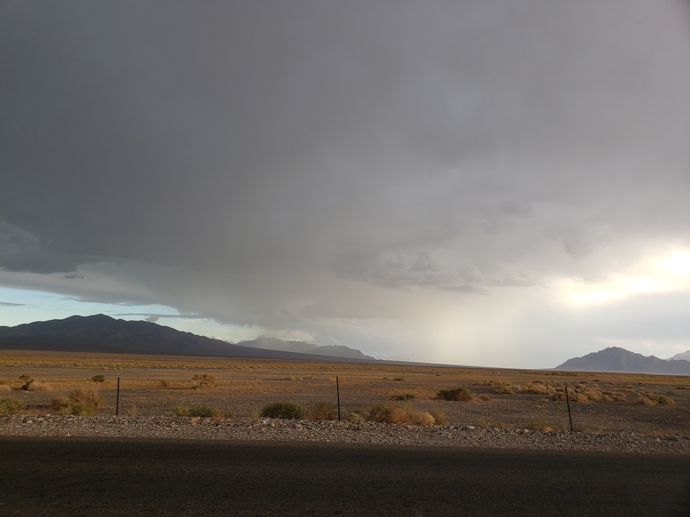
Given the reputation of this area being dry, it was funny to see rain on the way to Death Valley. The weather concerned me a bit, since rain can cause flash floods in the desert, but it ended up being fine. The rain wasn’t in Death Valley (except for a few light drops that I felt later that night), but not too far from it, at higher elevations.

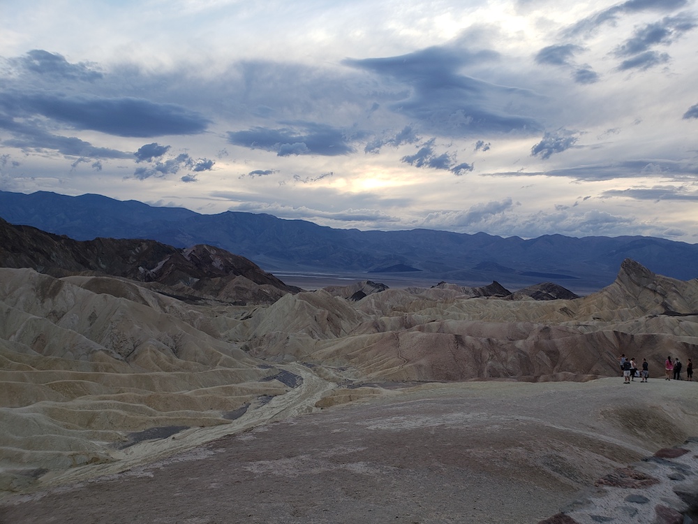
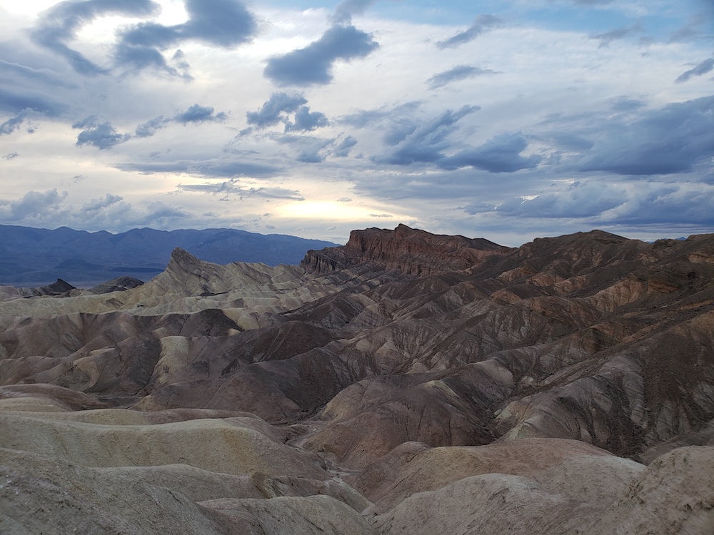
I did make it to the park about 30 minutes before sunset, which was good timing. I stopped the car at Zabriskie Point, where people were watching the sun go down as well as the view of the rock formations. It was slightly breezy, some people out but not crowded, a pleasant end-of-day atmosphere. If I had gotten there earlier, driving to Dante’s Peak could have been nice at sunset too, but Zabriskie Point had a great view.
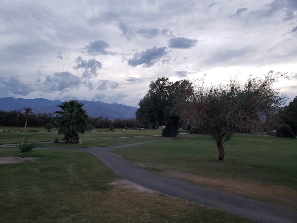
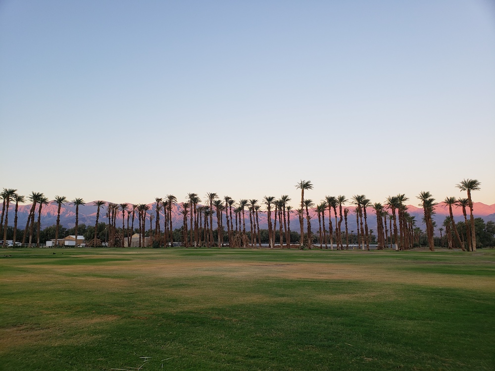
I then drove to the hotel – the Ranch at Death Valley, which was not far down the road and thanks to pumping underground springs, surprisingly lush, with a golf course and swimming pool. It really didn’t feel too much like Death Valley on the resort, especially during the evening/morning when I was there.
One really neat thing was the clear view of the stars when I looked up at 9pm. Living in the Bay Area, I rarely see many stars. But the stars were so vivid in the middle of the desert where there is comparatively little light pollution. I’m glad that I saw this.
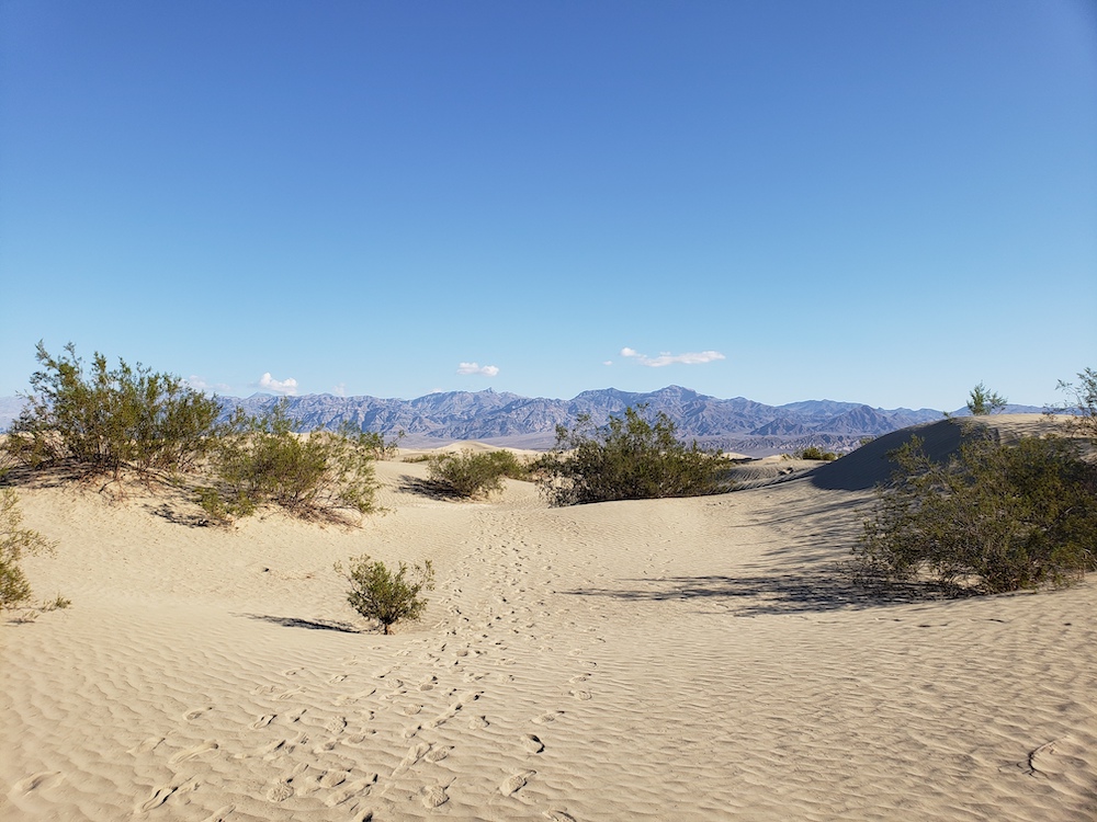
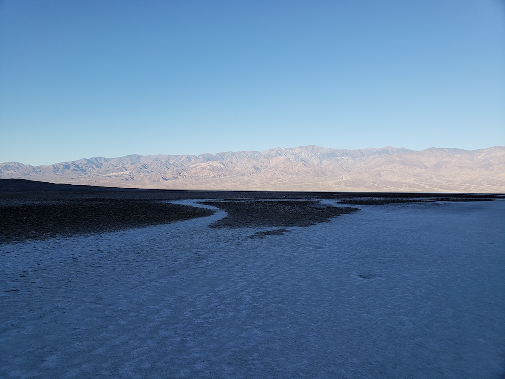
Since our family had been to Death Valley just last year, I didn’t feel the need to explore in a lot of detail, but rather just revisit highlights. It was nice the next morning to see some other sites such as Badwater (the lowest elevation in America) and the Sand Dunes. It was nice to see them at the beginning of the morning, with relative shade and not very many people out.

After some more time there in the morning, I headed away from Death Valley, towards the Sierras, and up the Owens Valley.
The Sierras
I took the west exit, going towards 395 and the Owens Valley by the Sierras. The road went by Mt Whitney (tallest mountain in continental US), though with the clouds on top didn’t make a great picture. There were places along the way that could have made nice stops that I intentionally skipped, e.g. I’ve been meaning to go to the ancient Bristlecone Pine Forest, but this was a fairly significant detour. I got lunch briefly in Bishop, but I intentionally skipped stops in Mammoth and Lake Mono – both of which our family visited last year. It would have been easy to spend more time in these places and overnight in Mammoth.
As I passed Mammoth, I was torn a bit in direction – either going towards Lake Tahoe or driving through the Tioga pass to Yosemite. Lake Tahoe has a much easier story for getting a hotel, compared with Yosemite’s accommodation craziness. But on the other hand, I’ve been to Tahoe a lot more than Yosemite and I’d never driven the Tioga Pass before. In the end, I decided to turn on the road to Yosemite.
3) Yosemite National Park
So, I have to admit that despite living in the Bay Area, I actually hadn’t been to Yosemite in over a decade because that last time we went, it was completely and unpleasantly packed. Part of the motivation of this trip (before the rain) was to spent more time in Yosemite without too many crowds.
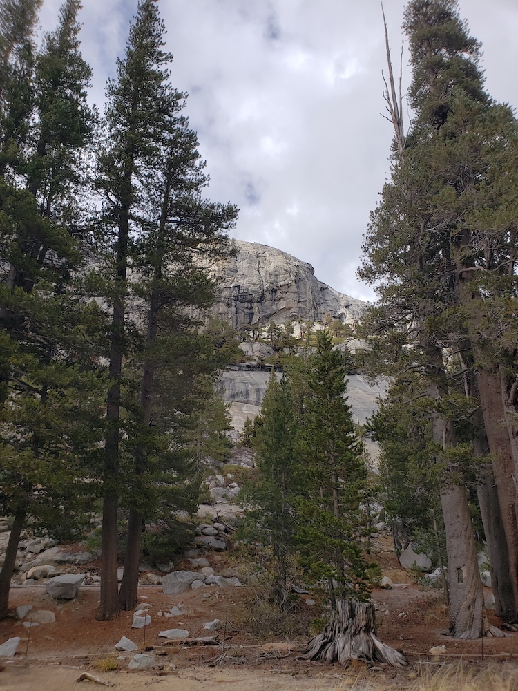
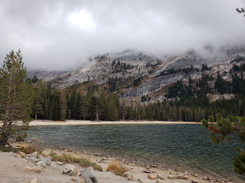
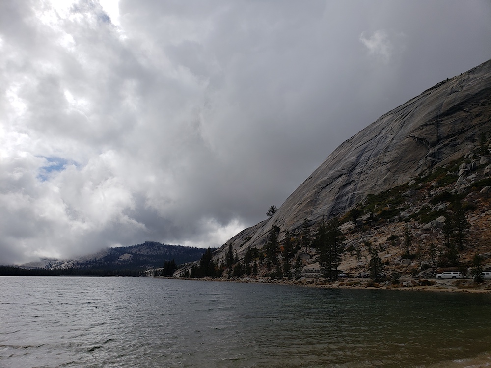
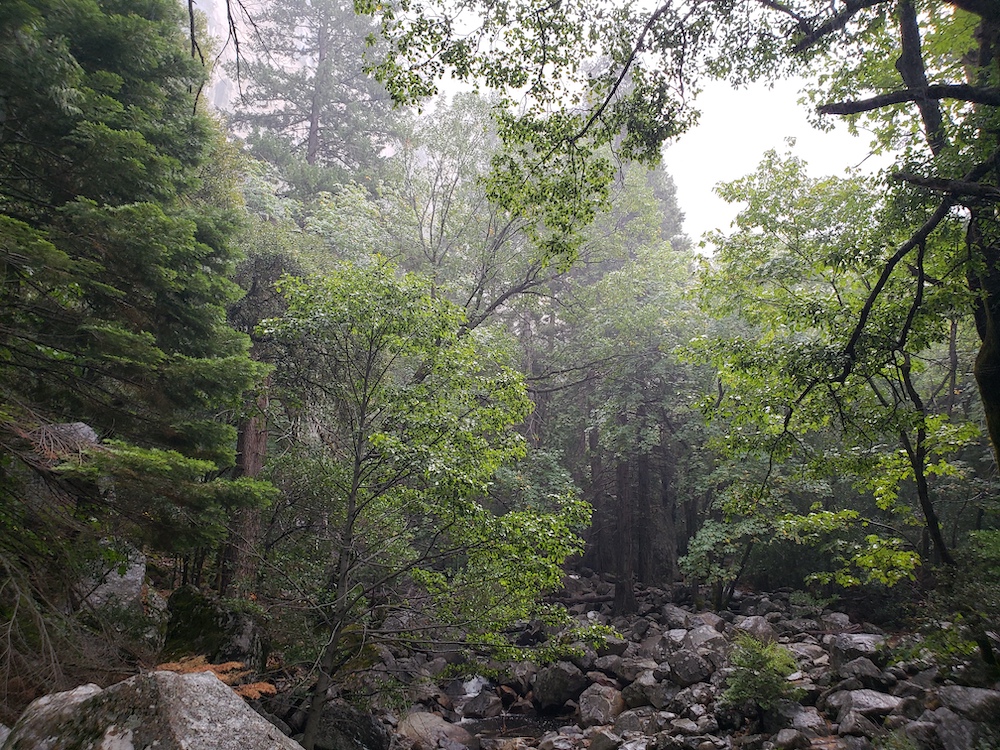
The Route 120/Tioga Pass road through the sierras and Yosemite was quite beautiful with majestic granite and trees. It was hard to capture this well with pictures. I did stop quite a bit, including Tenaya Lake below:
The variety of altitudes this day was fairly interesting – Tioga Pass got to nearly 10,000 feet, while I slept the previous night at below Sea Level. There had been many times I’d gone over mountain passes.
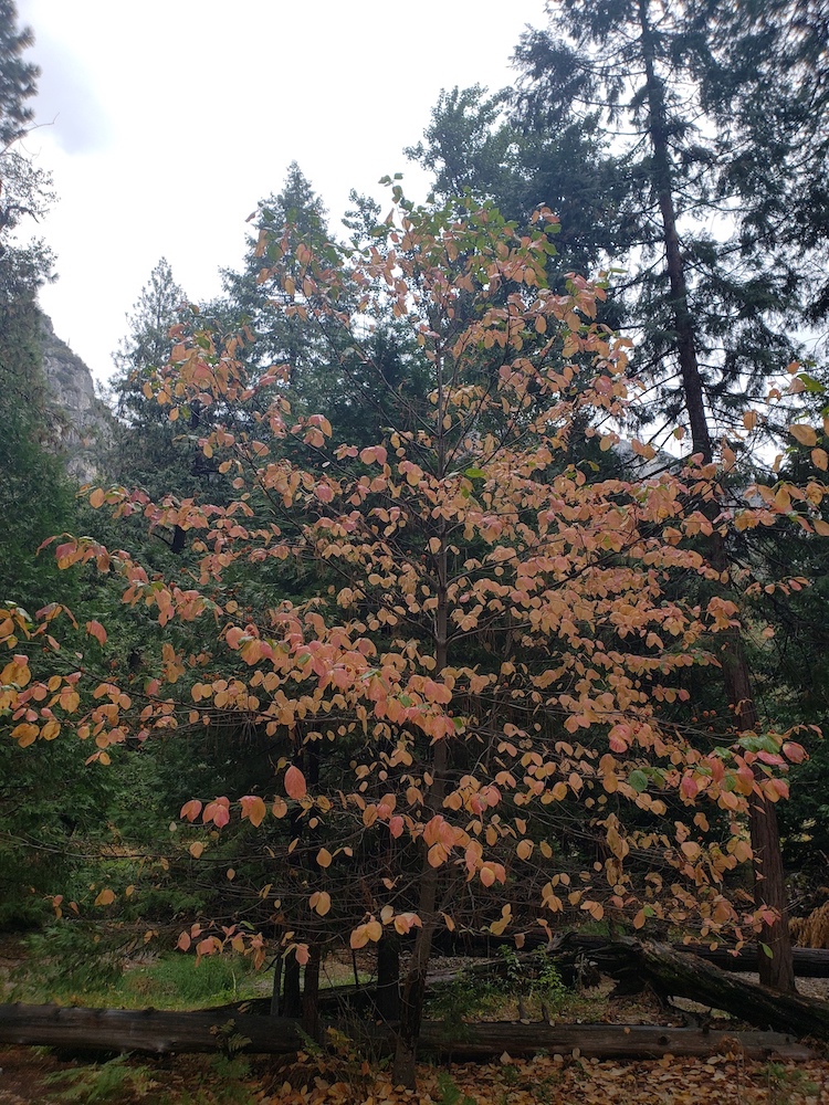
Eventually, the road started winding towards Yosemite valley, which could be seen in the distance.

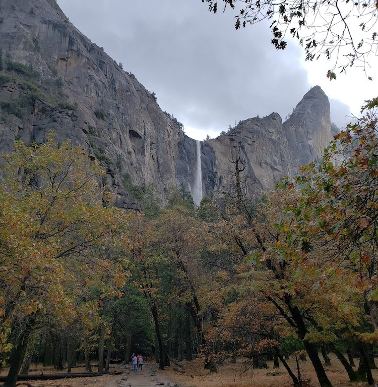
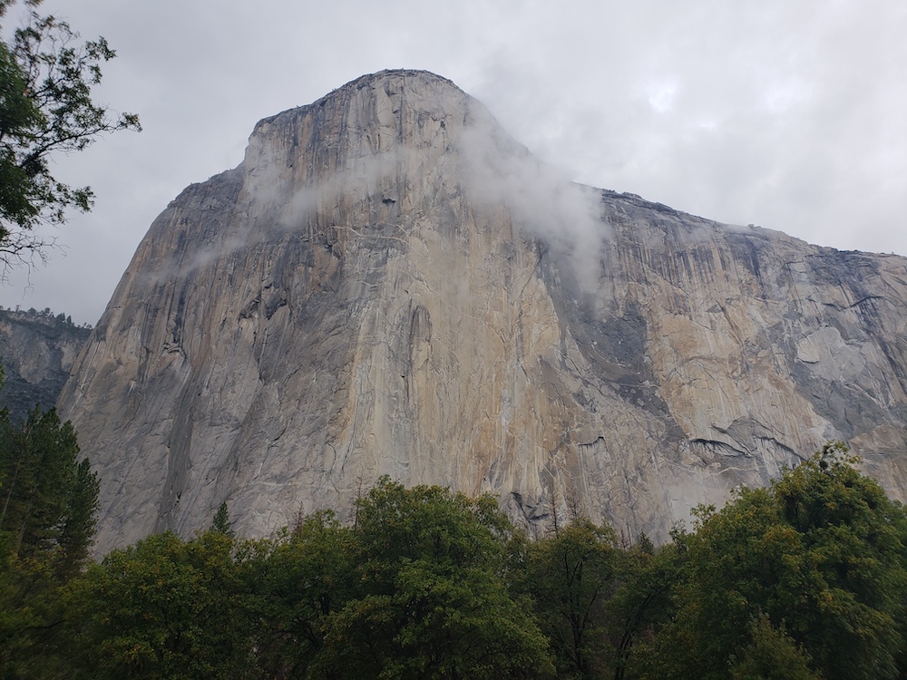
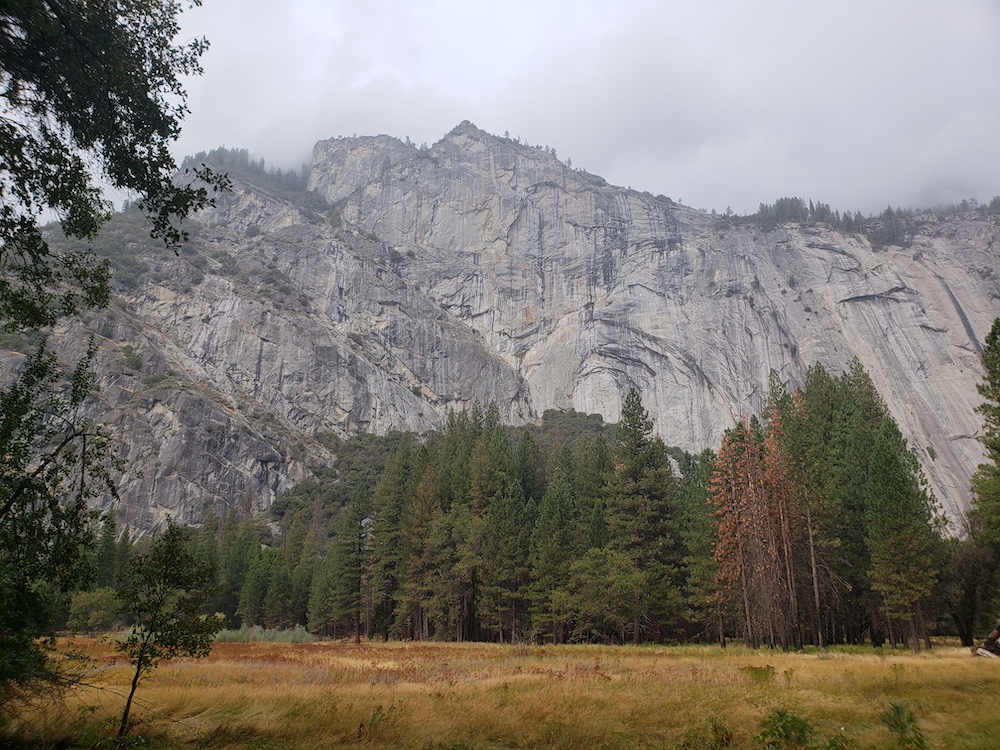
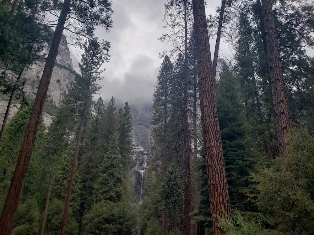
As I started actually getting into the valley, there were many spots to take pictures and admire the Yosemite valley. And without weekend crowds, there were easy parking places to pull over at these places, and walk around a bit. The waterfall below is actually Bridalveil Fall, but Yosemite Falls was flowing as well – restarted by the rain earlier this week.

Knowing that accommodation in the park would be impossible, and that given my Friday schedule constraints, I wouldn’t easily be able to spend the morning hiking and drive back, I resolved to make good use of the remaining daylight looking around the Yosemite valley. It made me realize that while Yosemite can be way overcrowded at times, that I should take the family back, but make more effort to go during off-peak times.

As daylight waned, I did make my way out of the park. I did make it back home by the deadline, and had a lot of fun with this whirlwind trip of national parks near home.
Keep reading our travel blog to see more road trip ideas!
Here are some more posts highlighting various National Parks: